Oak restoration field with binary numbers laid over the image.
Ramajal Field Connectivity Ramajal Field at the Dangermond Preserve. © Kelly Easterday/TNC

Advance Applied Research and Conservation Technology

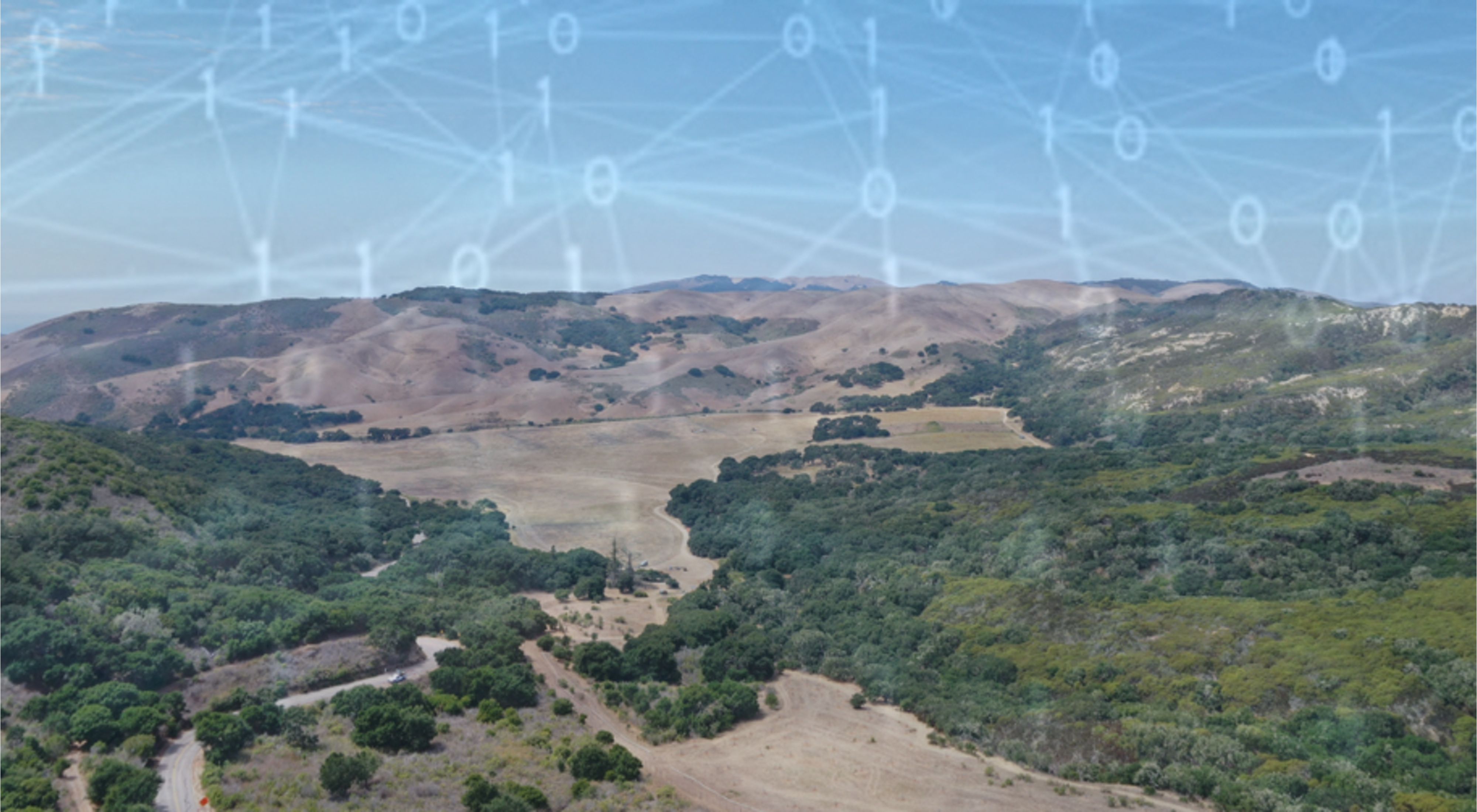
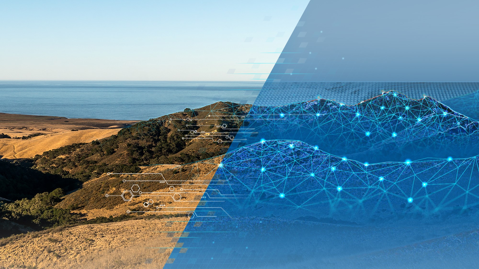
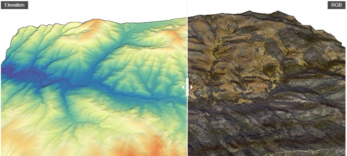
At the Dangermond Preserve we aim to bring cutting-edge technology to the world of conservation and enable state-of-the-art capabilities with advanced tools and breakthrough solutions. To do this we continue to build the Dangermond Preserve digital twin—an open data repository and cyber-infrastructure—to advance access to data streams and analytics emerging from the Preserve and its research partners.

Dangermond to Data Dangermond Preserve landscape fading into digital space. © ESRI

Geospatial Hub

Public View COMING SOON.

Staff and Partners with login credentials please proceed below.

Please click here to go directly to our ArcGIS Hub site - Dangermond Preserve’s Geospatial Hub and view primary geospatial data, applications, webmaps, storymaps, and more from the Preserve.

We maintain and host geospatial layers for staff, partners, and public use through ESRI’s cloud storage and geospatial platform: ArcGIS Online (AGOL). At Dangermond Preserve/ PCI, we currently have over 100+ geospatial layers and 80+ users of these resources.

DataOne Datasets Map of research datasets near the Dangermond Preserve in California. © TNC

Research Repository

View or Submit a Data Package

Are you a researcher or partner working with us at the Preserve already? Want to submit your dataset?

We have partnered with DataOne and the National Center of Ecological Analysis and Synthesis (NCEAS) to host research/scientific data emerging from the Preserve and issue Digital Object Identifiers (DOI).

Partnering with NCEAS and the DataOne network the Dangermond Preserve aims for long-term preservation and access to data with foundations rooted in FAIR and CARE data principles.

Weather station in a field.
Weather Station at JLDP Weather station collecting information on wind speed, direction, rainfall, temperature, relative humidity, and more at the Dangermond Preserve. © Jim Norris/TNC

Real Time Sensors

View time-series and near to real-time data streams emerging from the Dangermond Preserve. These data streams include weather stations, radars, cameras, and more.

View live streaming data from weather stations at the Preserve through Dendra

Other live-streaming instrumentation deployed in conjunction with partners includes:

We are constantly updating and installing new instrumentation. Please check back as more stations come online.

Elevation and Color Lidar of the Dangermond Preserve.
Lidar Dangermond Preserve Elevation and RGB Lidar rendering of the Jack and Laura Dangermond Preserve. © Open Topography

Remote Sensing and Imagery

The Dangermond Preserve has several primary image collections, including:

Most image collections and acquisitions are stored in S3 buckets on the AWS Cloud as well as local directories. Please get in touch with our staff if you would like access to our imagery.

Soon we aim to publish primary imagery assets through ArcGIS Imagery Online to enable on-demand raster analytics for users.

In the meantime, please take a look at our Historical Imagery and Map Viewer and 3D Lidar Virtual tour for quick visualization of some of these collections.

Some other public image collections available for use are:

Dangermond Preserve, CA Species lists are generated from several sources including field observations and specimens. © Bill Marr/TNC

Species Lists

Species lists are generated from several sources including field observations and specimens. View our species lists below:

Computer recording data on the ground.
Field Computer Field computer downloading water level and temperature data from a groundwater monitoring well at the Dangermond Preserve. © Kelly Easterday/TNC

Other Resources

GitHub Site for source code related to projects at the Dangermond Preserve

Overview Maps

A few static maps highlighting various aspects of the Preserve.

Click the link to open in a new tab and save it to your own workspace. Most maps are georeferenced PDFs that can be used in applications like Avenza Maps for navigation on-site.

General Site Map

Vegetation Communities

Geology

Community Science

View and contribute species observations in iNaturalist’s Jack and Laura Dangermond Project Site

View and contribute bird species observations at several eBird hotspots

Local Resources

View local data and interactive atlas of the Santa Barbara County Blueprint

Native American Heritage Commission Digital Atlas

USGS Geologic and Geophysical Maps of Santa Maria and Point Conception Quadrangle

Santa Barbara County Hydrology and Historical Rainfall

Data Policies, Acknowledgments, and Citations

Please cite and/or acknowledge the Dangermond Preserve in your work using this citation and DOI. This helps us to track all resulting publications.

The Nature Conservancy (2017): Jack and Laura Dangermond Preserve. The Nature Conservancy. Physical Object. https://doi.org/10.25497/D7159W

Sensitive Information

TNC and the Dangermond Preserve are in general supportive of open access to data and public data sharing to support scientific inquiry, transparency, and public engagement in conservation.

Exceptions to this include categories of data and specific locational information the sharing of which could present a risk to natural and cultural resources, property trespass, vandalism, and other threats to Preserve infrastructure.

Cultural information: Information on cultural and archeological sites is securely managed by the Central Coast Information Center (CICC) and is not publicly available. Any artifacts found onsite should not be disturbed and are protected by federal and state laws.

Sensitive species: Special status species information is managed through California Natural Diversity Database (CNDDB). Research and survey work will likely reveal new and more granular locational information on sensitive species and new information will be evaluated for potential risks, described above, before being shared publicly.

Several categories of species present particular risks from trespass, poaching, and vandalism. These include nesting locations of predatory birds, mushrooms, and Dudleya. We recommend that any locational information on predatory birds, mushrooms, and Dudleya not be shared publicly including through social media and community science applications like iNaturalist.

Incorporating Feedback

We are constantly soliciting informal feedback from collaborators and users on our data products. If you have a question or identify an issue with one of the datasets, please contact us.